You are here : Homepage > The trails > Itinéraire géologique aux Haudères (A)


Itinéraire géologique aux Haudères (A)
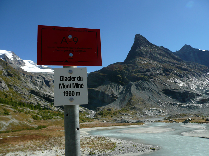
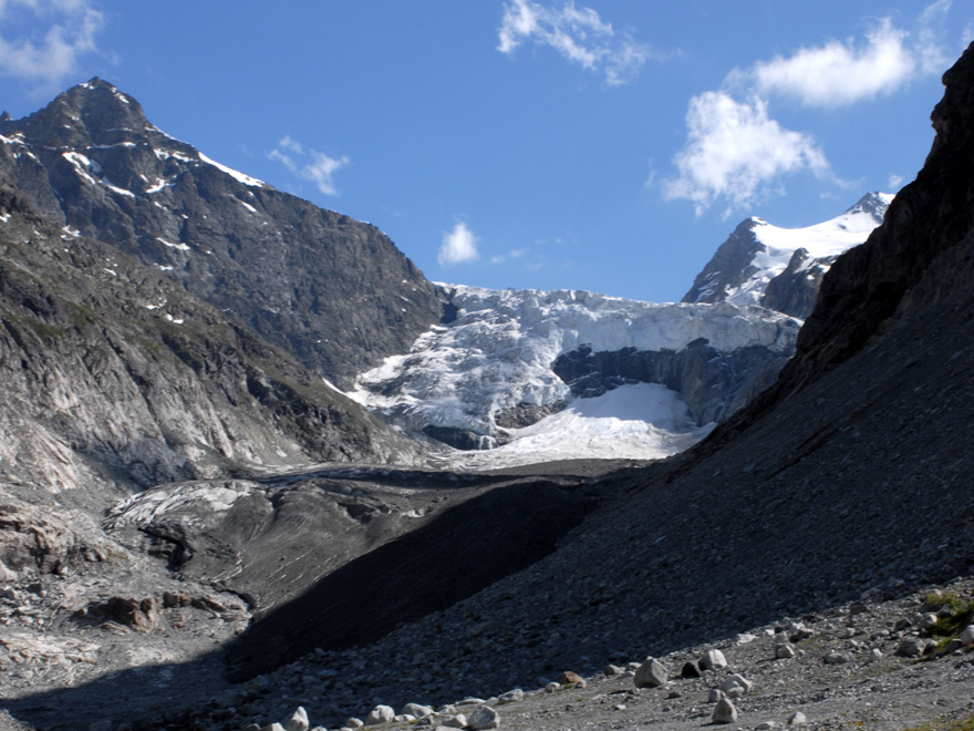
Des Haudères à Ferpècle
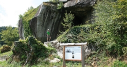
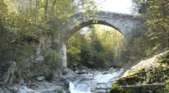
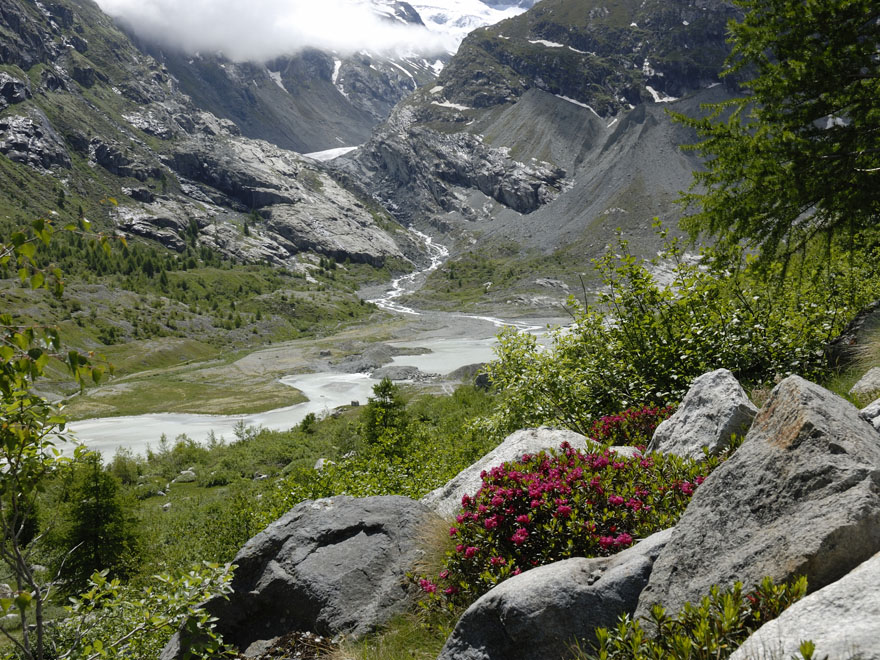
D'affleurements rocheux en panoramas, ce sentier présente la géologie et la géomorphologie du Vallon de Ferpècle entre les Haudères et le glacier du Mont Miné. Par la complexité de son contenu, la brochure s'adresse aux amateurs avertis.

Supporting information:
Brochure
No. of information points:
10
Special public:
Experts
Language:
French,
Contact
Evolène Région Tourisme
Place Clos Lombard
Case postale 80
1983 Evolène
T. 027 283 40 00
Légende
Départ
Arrivée
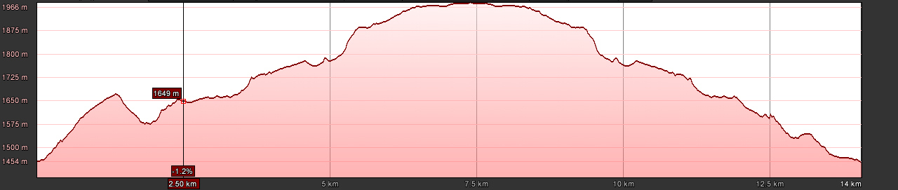
Length:
14.1 km
Duration:
Full Day
Max. altitude:
1966 m
Season:
spring, summer
National map:
1327 Evolène
Particularities:
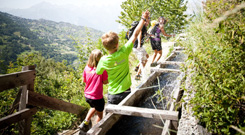
features sections of airy pathway
Those responsible for the internet site www.sentiers-decouverte.ch shall not be held responsible for any liability concerning the use of the information presented on this internet site or linked to the trails. For any additional information please contact the tourist office or the responsible person above.

Problème constaté sur ce sentier? Erreur ou imprécision sur notre fiche? Faites-nous en part.