You are here : Homepage > The trails > Via GeoAlpina (étapes 1-3)


Via GeoAlpina (étapes 1-3)
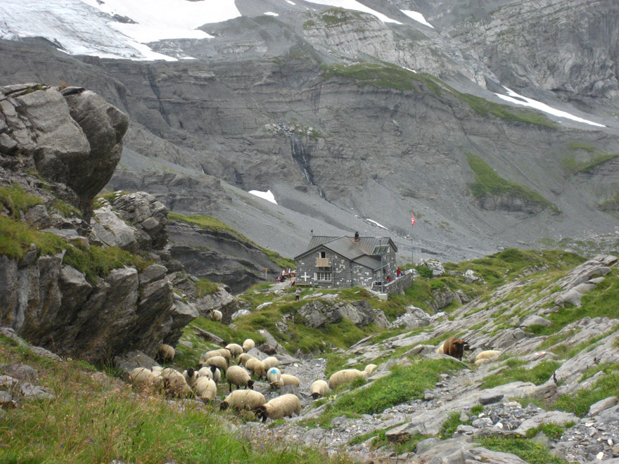
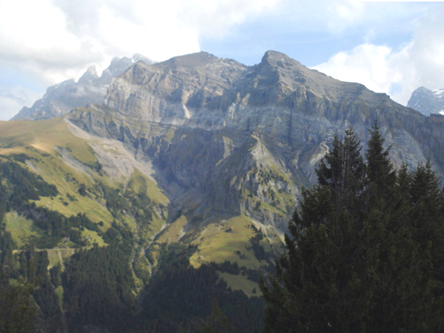
Du Col de Cou à Van d'en Haut, par le col de Susanfe
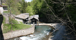
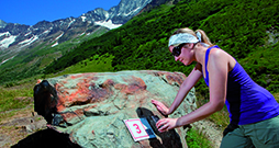
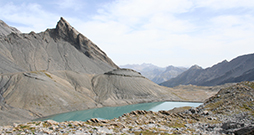
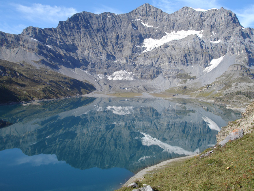
La Via Geoalpina valorise le patrimoine géologique le long de certains tronçons de la Via Alpina, un itinéraire pédestre transalpin. En Valais, l'histoire des paysages entre le Col de Cou et Derborence est évoquée à l'aide d'illustrations et de photos.

Supporting information:
Document to download
No. of information points:
4
Special public:
Experts
Language:
French,
German,
More information:
Contact
Légende
Départ
Arrivée
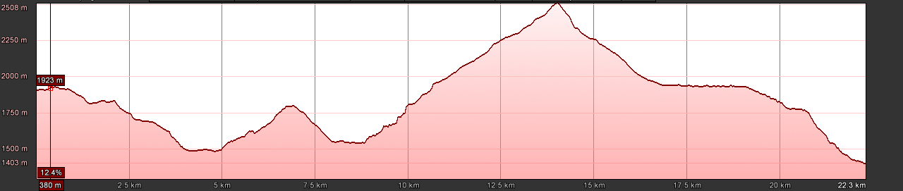
Length:
23.2 km
Duration:
more than one day
Max. altitude:
2508 m
Season:
summer, autumn
National map:
1304 Val d'Illiez
1324 Barberine
1324 Barberine
Particularities:
accessible to large groups
features sections of airy pathway
Those responsible for the internet site www.sentiers-decouverte.ch shall not be held responsible for any liability concerning the use of the information presented on this internet site or linked to the trails. For any additional information please contact the tourist office or the responsible person above.

Problème constaté sur ce sentier? Erreur ou imprécision sur notre fiche? Faites-nous en part.